
Fury of the Nile – LiDAR Scanning Support
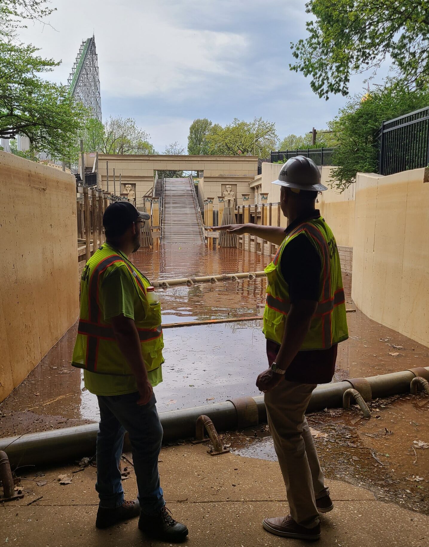
In preparation for the 2025 season, Cedar Fair requested GBA’s support on an accelerated timeline to perform a detailed survey of the Fury of the Nile ride at Worlds of Fun. The goal was to deliver high-resolution as-built data prior to the flume being filled with water, enabling the client’s design team to evaluate potential enhancements aimed at improving ride dynamics and overall guest experience.
Rapid Mobilization and Field Execution
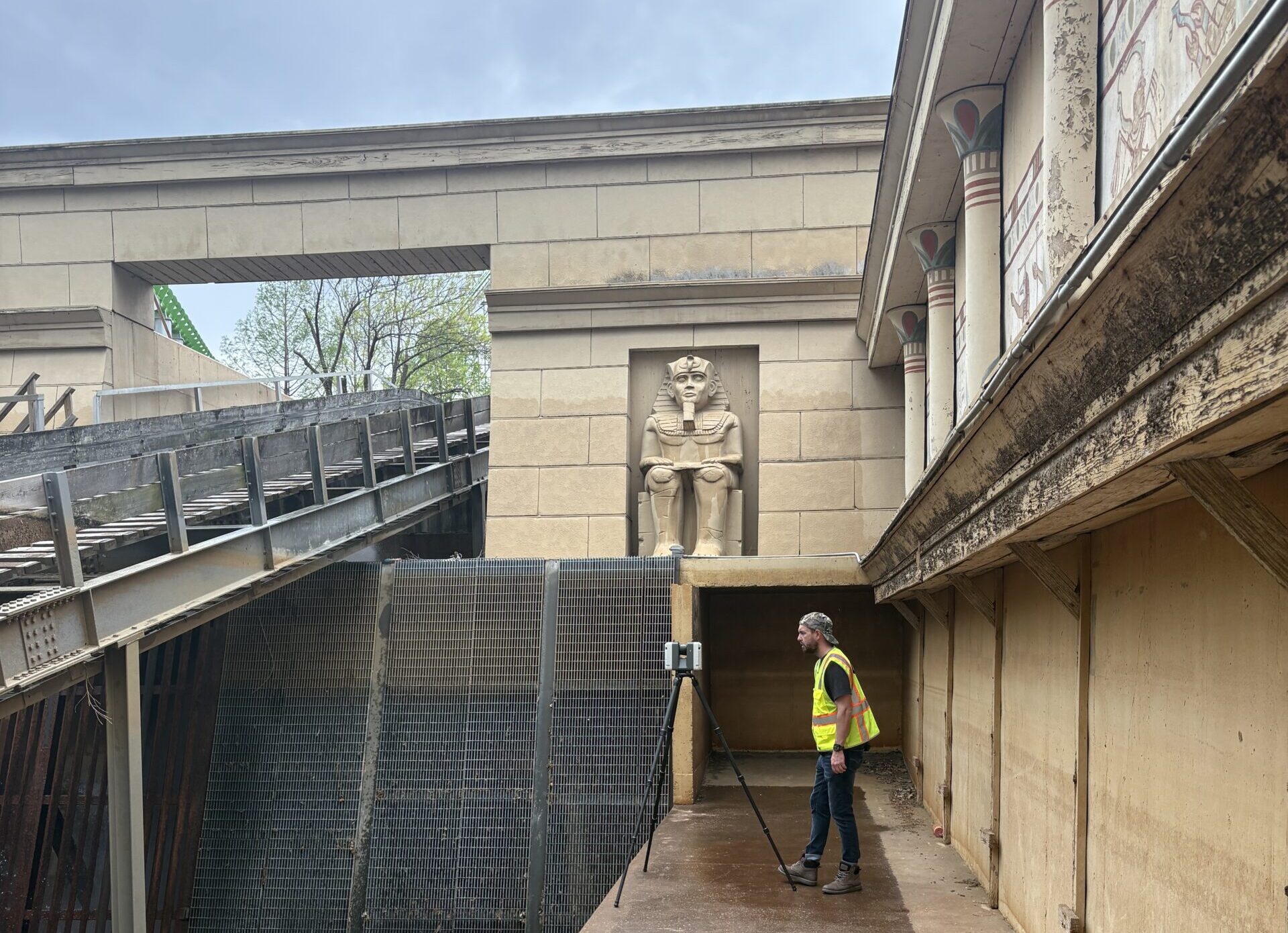
With a soft opening scheduled just days after the request was made, and water scheduled to begin filling the flume within hours, the project required an immediate response. GBA mobilized its LiDAR team the following morning. Using a Leica RTC360 terrestrial scanner, the team completed a full scan of the 115,000-square-foot ride footprint in less than a day. The data collected identified the precise locations and elevations of the flume’s structural elements, including wall heights, floor contours and existing weir placements.
Data-Driven Support for Ride Enhancements
This survey supports Cedar Fair’s evaluation of how larger or repositioned weirs could increase wave action and overall ride dynamics. By extracting these features from the point cloud data, GBA is providing the ride design team with actionable, detailed datasets to inform ongoing design efforts.
Team Agility and Technical Execution
One notable aspect of the project was the team’s ability to adapt quickly to both the timeline and the technology. Despite this being his first use of terrestrial scanning equipment, team member Dave Weld successfully executed the scanning task under pressure, demonstrating flexibility and a rapid learning curve critical to meeting client expectations.
Trusted Partnership
GBA’s long-standing partnership with Worlds of Fun allowed for efficient coordination and immediate site access. The client praised GBA’s responsiveness and ability to deliver high-quality results on short notice, reinforcing the value of a trusted, experienced project partner.